Difference between revisions of "CSC220 Syllabus 2010"
(→Introduction) |
|||
| Line 20: | Line 20: | ||
* Google-Map API | * Google-Map API | ||
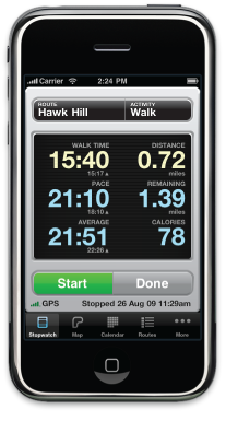
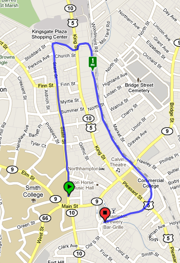
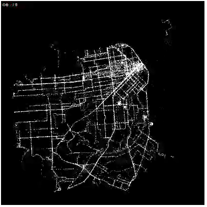
The tentative project will involve gathering GIS files from email messages generated on data phones by applications such as [http://www.abvio.com/walkmeter/ Walkmeter 4.0], storing the GIS information in a database, and generating an image or animation of the paths taken by students during different periods of time. | The tentative project will involve gathering GIS files from email messages generated on data phones by applications such as [http://www.abvio.com/walkmeter/ Walkmeter 4.0], storing the GIS information in a database, and generating an image or animation of the paths taken by students during different periods of time. | ||
| + | [[Image:EricFischerBusTraffic.png|400px|right]] | ||
Revision as of 11:16, 1 September 2010
Professor
Dominique Thiébaut
Ford Hall, 356.
Telephone: 3854
Office hours M 3:00-5:00 p.m. & W 3:00-4:00 p.m., and by appointment
Go to the class Class Homepage for exercices, demo programs, and misc. information.
Introduction
CSC220, Advanced Programming Techniques, is a 4-credit course that is an elective for the major, and counts toward the Programming component of the major. This semester it centers on a semester-long project that will require programming in
- bash
- php
- mysql
- python
- svg (probably)
- Google-Map API
The tentative project will involve gathering GIS files from email messages generated on data phones by applications such as Walkmeter 4.0, storing the GIS information in a database, and generating an image or animation of the paths taken by students during different periods of time.


